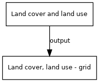
Land cover, land use - grid
Jump to navigation
Jump to search
| Label: | Land cover |
| Description: | Multi-dimensional map describing all aspects of land cover and land use per grid cell, such as type of natural vegetation, crop and grass fraction, crop management, fertiliser and manure input, livestock density. |
| Dimensions: | time, worldgrid |
| Variable type: | model (from/to model) |
Variable is output of model component:

Variable is input of model component(s):

- Click on a box to open the model component.
A description of land cover types in IMAGE can be found on the Land_cover_types page