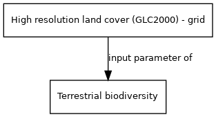
High resolution land cover (GLC2000) - grid
Jump to navigation
Jump to search
| Label: | Land cover data from GLC2000 |
| Description: | The database contains two levels of land cover information—detailed, regionally optimized land cover legends for each continent and a less thematically detailed global legend that harmonizes regional legends into one consistent product. The land cover maps are all based on daily data from the VEGETATION sensor on-board SPOT 4. |
| Dimensions: | time, worldgrid, landcovertype |
| Variable type: | external parameter |
| Source: | EC-JRC |
External parameter is input of model component(s):
- Click on a box to open the model component.