Protected area - grid
Jump to navigation
Jump to search
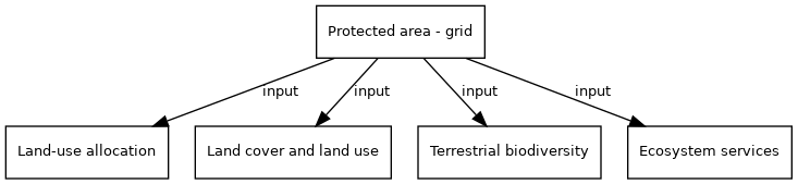
| Label: | Protected areas |
| Description: | Map of protected nature areas, limiting use of this area. |
| Dimensions: | worldgrid |
| Variable type: | driver |
| Driver group: | Environmental and other policies |
| Source: | WDPA database; |
| Values based on: | own assumptions, derived from polygon maps |
Drivers are described in the Drivers component.
Variable is input of model component(s):
- Click on a box to open the model component.