Road-map - grid
Jump to navigation
Jump to search
| Label: | Road map |
| Description: | global Road map |
| Dimensions: | time |
| Variable type: | external parameter |
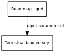
External parameter is input of model component(s):
- Click on a box to open the model component.
This dataset is based on the Digital Chart of the World (DCW). Digital Chart of the World thematic layers are: Political/Ocean (country boundaries), Populated Places (urbanized areas and points), Roads, Railroads, Aeronautical Structures, Utilities (electrical, telephone, pipelines), Drainage System, Hypsographic Data, Land Cover, Ocean Features, Physiography, Cultural Landmarks, Transportation Structure, Vegetation
See for more information: http://en.wikipedia.org/wiki/Digital_Chart_of_the_World