Topography, elevation - grid
Jump to navigation
Jump to search
| Label: | Topography |
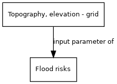
| Description: | Global high resolution map of topography and elevation obtained from NASA's Shuttle Radar Topography Mission. Digital Elevation Model. |
| Dimensions: | worldgrid |
| Variable type: | external parameter |
| Source: | HydroSHEDS database; |
External parameter is input of model component(s):
- Click on a box to open the model component.