Region classification map
Jump to navigation
Jump to search
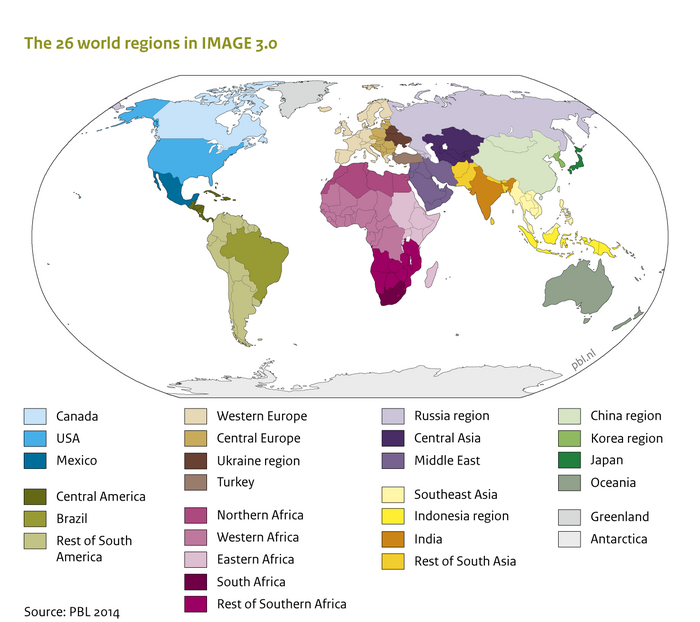
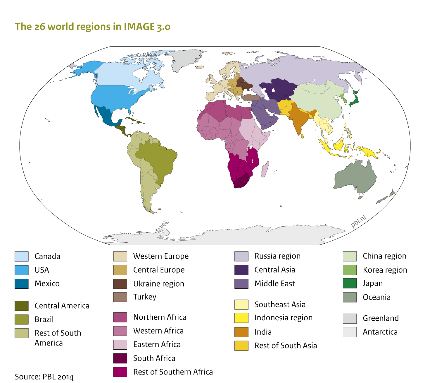
Caption: The IMAGE framework region classification: The IMAGE land use regions
Figure is used on page(s): IMAGE framework summary/Description, IMAGE framework/IMAGE 3.0 in a nutshell
View Image "700" is not in the list (0, 240, 300, 400, 500, 600, 800) of allowed values for the "HasOptimalSize" property.