Topography - grid
Jump to navigation
Jump to search
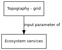
| Label: | Topography |
| Description: | Global topography and elevation. Digital elevation model |
| Variable type: | parameter |
| Source: | HydroSHEDS (Hydrological data and maps based on SHuttle Elevation Derivatives at multiple Scales) |
External parameter is input of model component(s):
- Click on a box to open the model component.
"parameter" is not in the list (model (from/to model), model (end-indicator), driver, external parameter, historical data) of allowed values for the "HasVariableType" property.